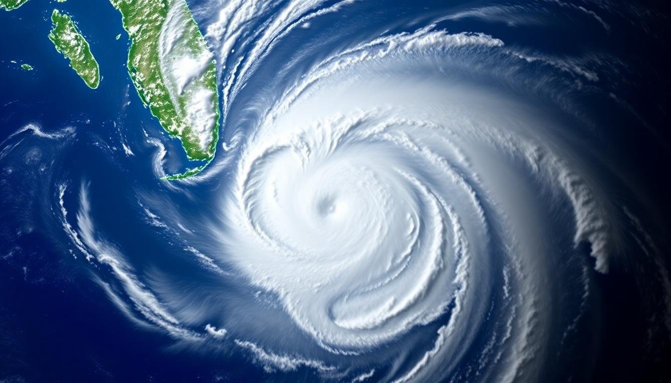
In mid-August 2025, Hurricane Erin stunned meteorologists and coastal communities across the Atlantic basin. In just over 24 hours, the first hurricane of the season exploded from a Category 1 storm to a Category 5 monster, with sustained winds topping 155 mph. This event, remarkable for both its speed and scale, highlights urgent questions about the impact of climate change on hurricanes—and how we should prepare for storms of the future.
Rapid Intensification: A New Hurricane Norm
The rapid strengthening of Hurricane Erin is part of a clear pattern scientists have tracked in recent years. “Rapid intensification” describes any storm that increases wind speeds by at least 35 mph within 24 hours. Erin far surpassed that bar, nearly doubling its intensity and catching forecasters and coastal towns by surprise.
Meteorologists point to abnormally warm Atlantic waters as a key factor. Surface temperatures beneath Erin hovered in the 82–86°F range (28–30°C), far above the historical average for August. According to climate scientists, these “supercharged” ocean conditions are not a fluke—they are now roughly 100 times more likely than a generation ago.

The Power of the Ocean: Climate Change’s Fingerprint
Erin is only the latest in a growing list of hurricanes showcasing extreme behavior. Since 2016, the Atlantic has seen 11 Category 5 storms—a third of the all-time total since records began. Scientists warn that Category 4 and 5 hurricanes are now developing earlier in the season, and Erin’s emergence in August supports that trend. Many experts connect this shift to global warming, which feeds storms with more heat and energy.
Other factors joined with ocean heat to make Erin so intense. Diminished wind shear and moist air in the mid-levels of the atmosphere allowed the storm’s core to strengthen rapidly. As Erin spun up, it went through an “eyewall replacement cycle”—a powerful process where a new eyewall forms, expands the storm’s wind field, and can briefly drop the overall strength before rebounding with wider, stronger winds.

Where Is Erin Headed?
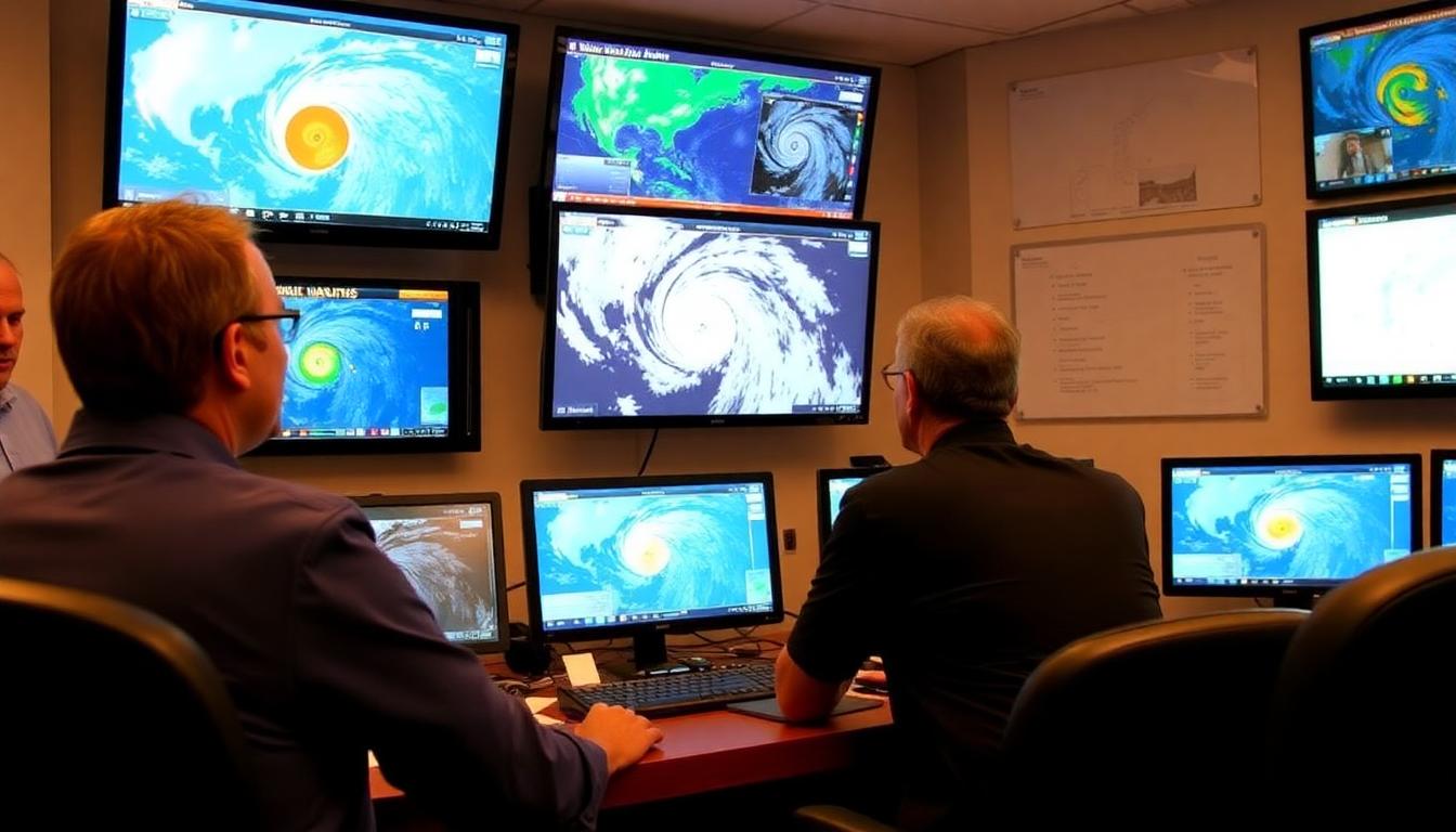
As of the morning of August 17, forecast models show Hurricane Erin’s center tracking northward, away from the northern Caribbean but close enough to cause concern. Its main steering forces—a retreating high-pressure ridge and an incoming cold front—should keep the storm offshore of the U.S. East Coast. However, that does not mean coastal regions are in the clear.
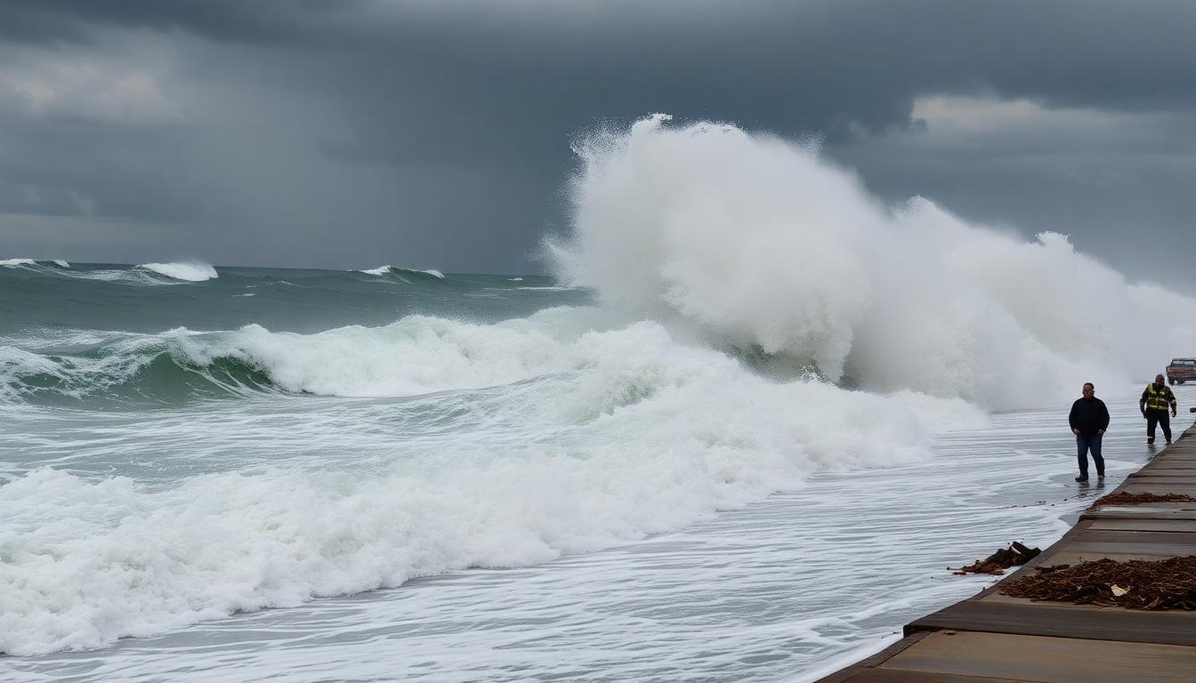
Erin’s massive wind field will drive powerful waves and rip currents, especially along the Outer Banks of North Carolina and portions of South Carolina and Virginia. Experts are warning of increased risk for beach erosion, flooding of low-lying coastal areas, and dangerous surf through the coming week. Local authorities have issued hurricane watches and marine advisories for wide stretches of shoreline, reminding everyone that “offshore” hurricanes can still have far-reaching effects.
A Growing Storm: Size and Strength
As Erin continues, it’s expected to complete another eyewall cycle and grow even larger. Scientists predict the system will double or even triple its size as it moves north, magnifying its impacts even if its top winds fluctuate. For mariners, commercial fishing, or anyone near the coast, those expansions increase the area facing high winds, heavy surf, and coastal flooding.

Precaution and Preparedness
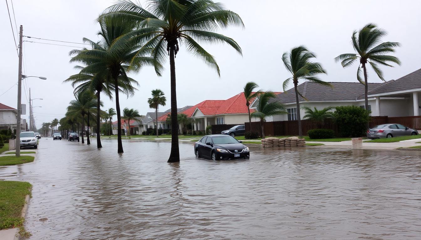
Even though Erin’s forecasted path largely keeps it offshore, cities and ports across the Southeast U.S. and Caribbean took no chances. Ports have closed, cruise ships and cargo vessels have shifted course, and emergency management teams have activated. Communities from South Carolina to New York are monitoring local impacts, prepared to deploy sandbags, open shelters, and enforce evacuations if Erin’s track changes even slightly.
This cautious approach is a reflection of recent history—intense hurricanes have often taken unpredictable paths, with last-minute wobbles sending them toward high-population areas. Erin’s erratic behavior and record-setting intensification rate serve as cautionary reminders for the Atlantic basin.
What Erin Teaches About the Future
Hurricane Erin is more than just a weather story. It represents the new reality for coastal communities and emergency planners—a world where storms are stronger, more sudden, and less predictable because of ongoing climate change.
Key takeaways from Erin’s progression:
- Rapid intensification is no longer rare. As oceans warm, more storms will explode in strength with little warning. Speed of preparation will be crucial.
- Impacts aren’t limited to the forecast track. Even “offshore” storms like Erin can drive dangerous waves, disrupt shipping, and erode beaches hundreds of miles from their center.
- Hurricane season is lengthening and shifting. Major storms can now form well before and after the typical peak season, demanding longer periods of vigilance.
- Planning and adaptation are critical. Building resilient infrastructure, improving forecasting tools, and educating the public will shape how well communities can weather these new extremes.
Closing Thoughts
Meteorologists and climate experts agree: Hurricane Erin fits a troubling pattern of more dangerous and intense hurricanes in the Atlantic. Its rapid intensification and broad threat zone demonstrate how a quickly warming climate is raising the stakes for everyone living near the coast.
As Erin churns through the Atlantic, its legacy won’t just be measured in windspeed and rainfall, but in how it motivates society to take ever-more-serious action on climate readiness. Erin is both a warning and a call to action—one that will shape how we watch the skies for many hurricane seasons to come.
To contact us click Here .


