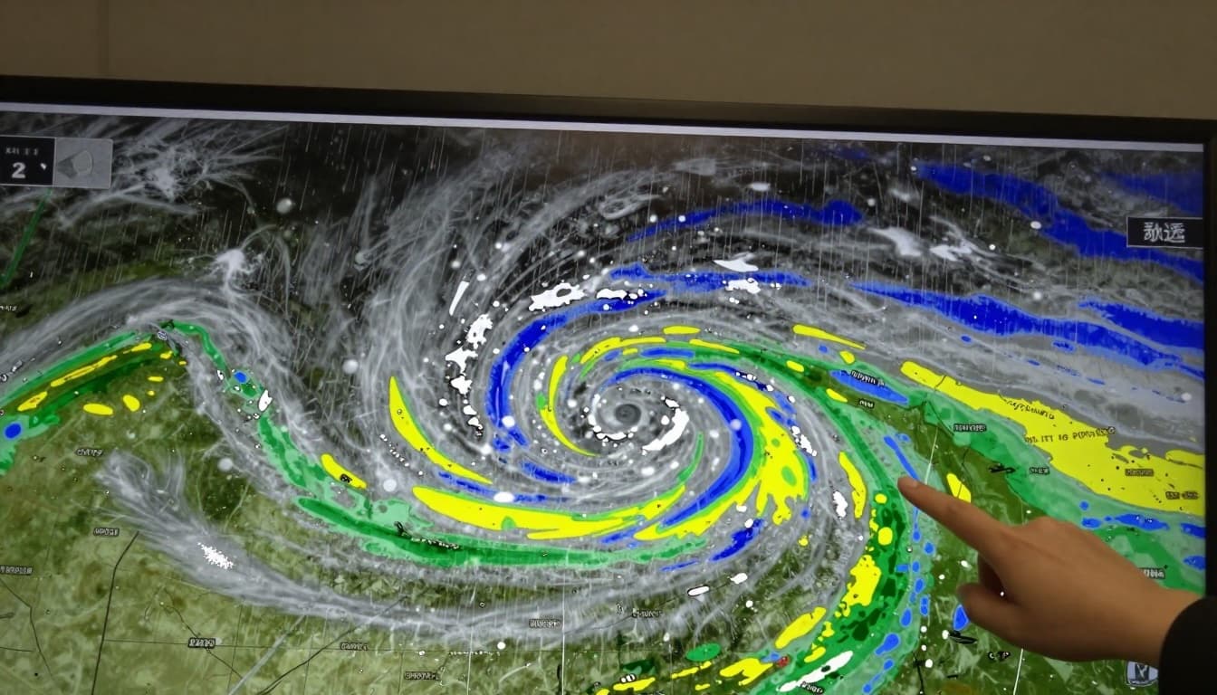
A powerful storm system is bringing a wide range of dangerous weather across the United States, including heavy snow, blizzard conditions, strong winds, extreme cold, and areas of freezing rain. Forecasters say travel could become hazardous quickly, especially in the Upper Midwest, Great Lakes, and parts of the Northeast.
This type of rapidly intensifying storm is often called a “bomb cyclone,” a term tied to a process known as bombogenesis. It does not mean an explosion. It means the storm’s central pressure drops very fast, which can supercharge wind and precipitation and lead to fast-changing conditions.
Source note: This is an original, WordPress-ready summary and explainer based on public reporting, including an NPR report published Dec. 28, 2025. Original source: NPR.org.
What a “bomb cyclone” is (and why it matters)
The National Weather Service uses the term bombogenesis when a low-pressure system strengthens rapidly. When air pressure drops quickly, winds tend to increase. That stronger wind can pull in more moisture, deepen the storm, and create more intense snow bands or heavy rain depending on temperatures.
In plain terms: these storms can ramp up fast. That is why travel plans that seem safe in the morning can become risky by evening. Visibility can fall close to zero in blizzard conditions, and strong wind can create whiteouts even after snow has already stopped falling.
How widespread the storm is
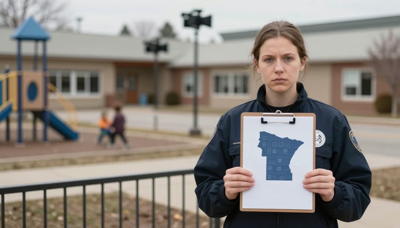
Forecasters described a massive impact zone stretching across large parts of the country. According to the National Weather Service, millions of people were under winter storm warnings, with blizzard warnings also in effect in key areas.
The storm is not delivering one single hazard. It is delivering several, depending on where you live:
- Heavy snow and blizzard conditions in parts of the northern Plains, Upper Midwest, and Great Lakes.
- High winds that can reduce visibility and increase the risk of tree damage and power outages.
- Arctic cold and dangerous wind chills in northern areas.
- Freezing rain in parts of the Northeast, which can ice roads and power lines.
This mix is one reason meteorologists stress caution. Snow has obvious risks, but freezing rain can be even more disruptive. A thin glaze of ice can make roads, sidewalks, and airport runways extremely slick.
Where heavy snow and blizzard conditions are most likely
In the Upper Midwest and Great Lakes, meteorologists warned that the heaviest snowfall could pile up quickly. NPR reported that National Weather Service lead forecaster Bob Oravec expected significant snow totals across areas including east central Minnesota, northern Wisconsin, and Michigan’s Upper Peninsula, with many spots in the 6 to 12 inch range.
Some parts of Michigan’s Upper Peninsula could see blizzard conditions from Sunday night into Monday evening, with near-zero visibility at times and winds strong enough to create drifting snow. In those conditions, even short drives can become dangerous, especially if you get stuck or lose sight of the road.
Local leaders in places used to harsh winters still take blizzard warnings seriously. In Marquette, Michigan, city officials emphasized preparedness and the priority of keeping people safe while public works crews stay ready to clear roads as conditions allow.
Minnesota and the Twin Cities: travel could turn “life-threatening”
Minnesota also faced major impacts, with widespread warnings and advisories. In the Twin Cities metro area, forecasts called for heavy snowfall totals, and the National Weather Service warned that travel conditions could become dangerous through early Monday.
When snow falls fast and wind increases, roads can become impassable. Plows may not be able to keep up. If you must travel, winter experts often recommend sharing your route, charging your phone, and keeping extra layers with you.
Extreme cold: from subzero wind chills to sudden drops in the South
This storm is also tied to an arctic front, which means a sharp temperature change. In northern areas near the Canadian border, wind chills can drop well below zero. NPR reported that Havre, Montana, could feel wind chill values around 15 degrees below zero, with actual air temperatures also dipping below zero.
Farther south, the contrast is dramatic. In Dallas, temperatures were expected to plunge from the 80s to highs in the 40s within about a day. Rapid drops like that can catch people off guard, especially if they are not set up for cold weather, pipe protection, or safe heating.
Freezing rain risk in the Northeast (plus a hidden NYC hazard)
In parts of northern New England and northern New York, forecasters warned about freezing rain and icing. Ice can make highways, ramps, and bridges hazardous, even if nearby roads look merely wet.
There is also a second problem that can show up after a storm: refreeze. When temperatures drop after snowfall, any packed snow or slush can freeze into hard ice, creating a fresh round of travel hazards. Forecasters warned that when colder air moves into New York City early in the week, leftover snow from the weekend storm could freeze and cause slick conditions.
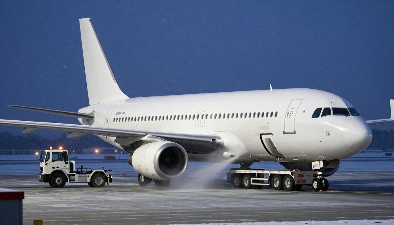
Air travel: delays, de-icing, and low visibility
Major winter storms often lead to airport disruptions, even outside the heaviest snow zone. Strong winds, runway snow, and low ceilings can delay arrivals and departures. De-icing also takes time and requires extra equipment and staff.
Practical safety steps (before you drive or fly)
- Check local warnings first: Winter storm warnings and blizzard warnings are serious. If officials say “avoid travel,” treat that as your best option.
- Plan for power issues: Strong winds and heavy, wet snow can bring down lines. Charge devices and have extra blankets ready.
- Do not trust “it looks fine”: Whiteouts can happen suddenly, and freezing rain can be invisible.
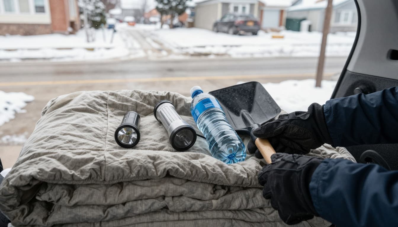
- Keep a winter kit in your car: Warm layers, a blanket, water, snacks, a flashlight, and a small shovel can make a big difference.
- Give yourself more time: Slow down, increase following distance, and avoid sudden braking.
Storms like this are not only about snowfall totals. They are about timing, wind, and how fast conditions change. If your area is in the warning zone, the safest move is often the simplest one: stay home, let crews work, and wait for conditions to improve.
To contact us click Here .