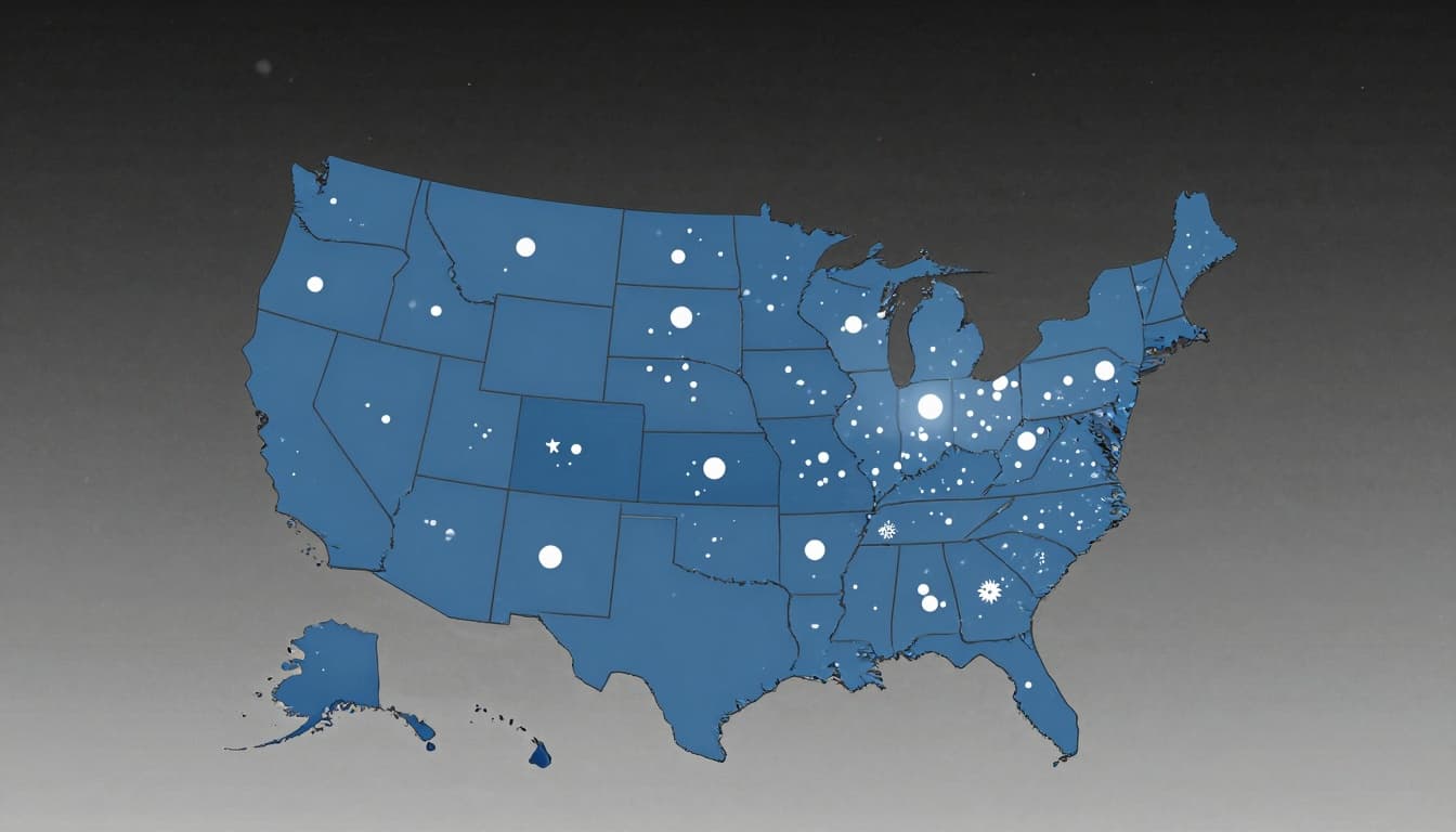
A major winter storm pattern is hitting large parts of the United States again. The National Weather Service (NWS) has issued new winter storm warnings and winter weather advisories for 13 states. Some areas could see as much as 15 inches of additional snow, along with bitter cold and dangerous wind chills.
This round of winter weather is closing schools, slowing travel, disrupting flights, and creating serious safety risks on the roads and at home. If you live in the Midwest, Northern Plains, or Northeast, now is the time to pay close attention to the forecast and get ready.
Where The New Winter Storm Warnings And Advisories Are In Effect
On Thursday, Dec. 11, the NWS issued fresh alerts across parts of the Northern Plains, Midwest, and Northeast. States with areas under winter storm warnings or winter weather advisories include:
- North Dakota
- South Dakota
- Montana
- Minnesota
- Iowa
- Illinois
- Indiana
- Ohio
- Kentucky
- Michigan (especially the Upper Peninsula and northern areas)
- Pennsylvania
- New York
- Vermont
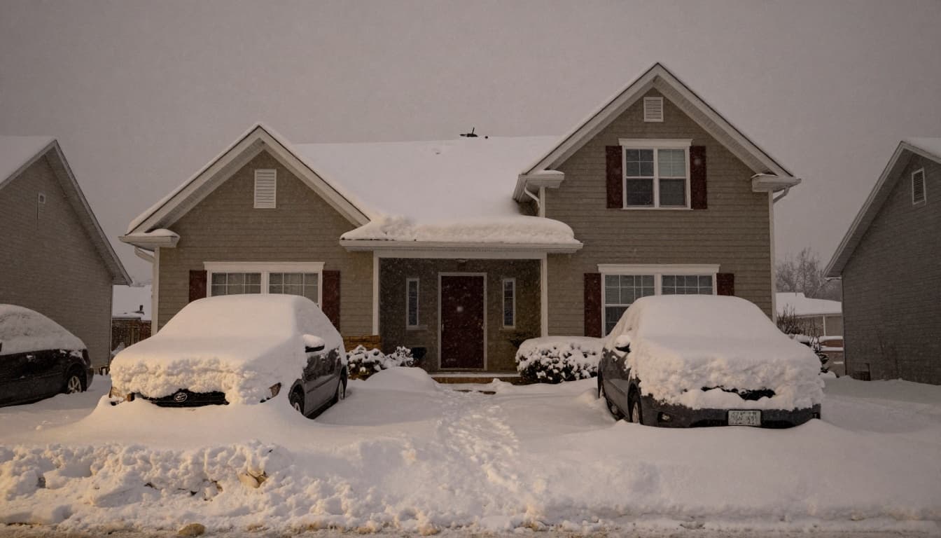
The heaviest new snow totals are expected across parts of the Upper Midwest, especially Michigan’s Upper Peninsula, northern parts of the Northeast, and some areas in the Appalachian region. In those spots, forecasters are warning that up to 15 additional inches of snow are possible.
How Much Snow To Expect
Not every state will see the same amount of snow, but the pattern is clear. Many areas will get another round of plowable snow on top of what has already fallen this week.
The biggest snow totals are likely in:
- Michigan’s Upper Peninsula and northern Michigan
- Parts of the Upper Midwest
- Northern New England, including parts of New York and Vermont
- Some higher elevations in the Appalachians
In these areas, up to 15 inches of additional snow could fall as the system moves through. That much snow, combined with wind and cold, can quickly bury cars, cover sidewalks, and make even short trips difficult.
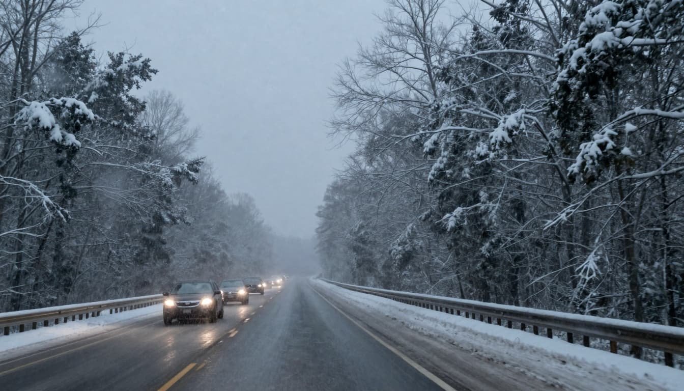
Dangerous Cold, Ice, And Travel Disruptions
This winter storm is not just about snow. The cold air behind the system is extreme in places, and ice is a major problem on roads and runways.
According to the NWS, some parts of the Upper Midwest and northern Michigan could see actual low temperatures drop to around -20°F to -26°F. Wind chills in nearby areas may hover around -20°F or lower.
In this kind of cold:
- Exposed skin can freeze in minutes.
- Any moisture on roads, sidewalks, or parking lots can turn into solid ice.
- Salt and other treatments may not work as well at very low temperatures.
The ice is also affecting air travel. In parts of Iowa, Illinois, Indiana, and Michigan’s Upper Peninsula, ice buildup can impact an airplane’s ability to take off and land safely. Travelers should expect possible flight delays and cancellations and check with airlines before heading to the airport.
On the ground, many school districts have already closed or switched to remote learning because of the storm and dangerous wind chills. Even places that are not seeing heavy new snow are still dealing with slick roads and freezing temperatures.
Cold Weather Safety Tips From Officials
Snow and ice are obvious hazards, but extreme cold brings its own risks, including frostbite, hypothermia, and power outages. The National Weather Service and power companies share clear steps you can take to stay safe.
Dress For The Cold
The NWS recommends:
- Wearing layers of loose-fitting, lightweight, warm clothing.
- Wearing a hat to keep heat from escaping through your head.
- Covering your mouth and nose with a scarf or mask to protect your lungs from the cold air.
- Choosing mittens instead of gloves, since mittens keep your fingers warmer.
- Staying as dry as possible and avoiding long exposure to wind.
Stay Safe If The Power Goes Out
Heavy snow and ice can bring down power lines and cause outages. Utility companies such as Entergy give the following advice:
- Use battery powered flashlights or lanterns instead of candles whenever possible, to reduce fire risk.
- Do not use your oven or stove for heat. This can cause fires or carbon monoxide poisoning.
- Rely on extra blankets, sleeping bags, and warm clothing to stay warm indoors.
- If you have a fireplace, make sure it is up to code and use dry firewood only.
- Use portable space heaters with automatic shut-off switches and non-glowing elements, and follow all safety instructions.

How To Prepare Before The Next Round Of Snow
If your area is under a winter storm warning or advisory, a few simple actions now can save a lot of stress later.
At Home
- Stock up on food, water, and basic supplies for several days.
- Charge phones, power banks, and other devices.
- Know where your flashlights, extra blankets, and first aid kit are.
- Bring pets indoors and make sure they have a warm place to sleep.
For Your Car
- Fill the gas tank before the storm hits.
- Put an emergency kit in the trunk (blanket, snacks, water, scraper, small shovel, flashlight).
- Check your tires and windshield wipers.
- Tell someone your route and when you expect to arrive if you must travel.
Stay Informed As Conditions Change
Winter storms can shift, and local conditions can change quickly. Always check:
- The latest alerts at the National Weather Service website.
- Local TV or radio forecasts for neighborhood level details.
- Official social media accounts for your city, state, and power company.
Pay close attention if your area is upgraded from an advisory to a warning. That usually means conditions are expected to become more dangerous.
Final Thoughts
The current winter storm pattern is bringing heavy snow, extreme cold, and ice to at least 13 states. With up to 15 inches of additional snow possible in some regions, this is more than just a normal winter day.
By preparing your home and car, dressing for the cold, and following safety tips from the NWS and local utilities, you can reduce your risk and keep your family safer. Check your local forecast often, avoid unnecessary travel during the worst of the storm, and look out for neighbors who may need extra help.
To contact us click Here .