Residents should prepare for hot, dry, and windy conditions Tuesday and Wednesday, with fire weather concerns across the region.

Southern California is heading into a hot and windy stretch, as a strong Santa Ana event arrives alongside a significant warmup. Forecasters expect the most intense period Tuesday and Wednesday, with highs pushing into the 90s in parts of the Los Angeles basin and valleys. The combination of heat, low humidity, and gusty offshore winds will raise fire weather concerns and could challenge a few daily temperature records.
What to Expect
- Peak heat: Tuesday and Wednesday look hottest, especially for downtown Los Angeles and adjacent valleys.
- Wind gusts: Typical Santa Ana corridors in L.A. and Ventura counties could see widespread gusts around 30 to 40 mph, locally higher in passes and canyons.
- Low humidity: Dry offshore flow will drop relative humidity, increasing the risk of rapid fire spread.
- Minor cooldown: Temperatures ease slightly Thursday, though readings may remain above normal into Friday.

Who Is Under Advisories
Heat advisories are in place for parts of Los Angeles, Ventura, Orange, San Bernardino, and Riverside counties. If you live in a valley, interior coastal plain, or a wind-prone pass, plan for hotter afternoons, warm nights, and gusty offshore winds. Coastal areas will be warmer than average but may feel slightly less intense than inland zones.
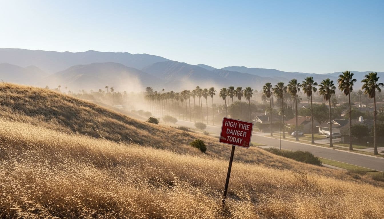
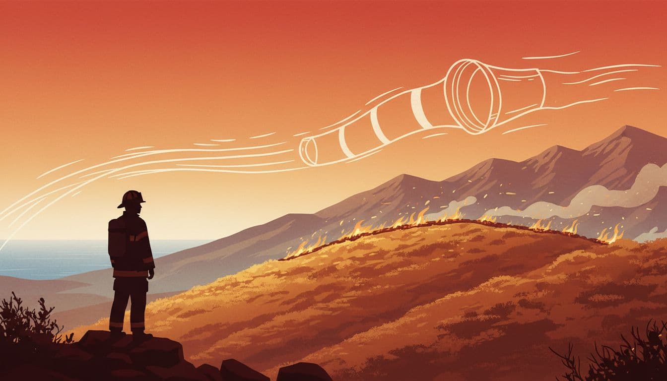
Why Santa Ana Winds Matter
Santa Ana winds are dry, downslope winds that funnel from the high desert toward the coast. As the air sinks, it warms and dries out. That process strips moisture from vegetation, lowers humidity, and can turn small sparks into fast-moving fires. Even when temperatures are not extreme, a strong Santa Ana event can create dangerous fire weather. This week we get both heat and wind at the same time.
Day-by-Day Outlook
Tuesday
Expect the first surge of wind in the morning, peaking late morning through afternoon in usual corridors. Temperatures climb quickly into the 80s and 90s for many inland spots. Skies remain mostly clear, with haze possible near the foothills.
Wednesday
Another hot day with lingering offshore flow. Winds likely remain gusty, but may trend a bit lower than Tuesday. Record-challenging highs are still possible, especially in the basin and valleys.
Thursday and Friday
A slight cooldown begins Thursday, though temperatures likely stay above seasonal norms. By Friday, conditions should be more comfortable, but dry fuels and recent winds can keep fire weather risks elevated.

Safety Tips for Heat and Wind
- Hydrate early: Drink water in the morning and keep a bottle with you all day. Avoid excess alcohol and caffeine during peak heat.
- Time your activities: Exercise or work outdoors early in the day. Take breaks in the shade.
- Secure your space: Tie down patio umbrellas, outdoor furniture, and trash bins. Clear leaves and debris from gutters and around your home.
- Protect sensitive groups: Check on older adults, young children, and anyone with chronic health conditions. Never leave kids or pets in cars, even for a moment.
- Reduce fire risks: Do not use power tools on dry brush during wind. Avoid open flames outdoors. Keep a hose, shovel, or extinguisher handy if you live near wildland areas.
- Prep for outages: Strong winds can knock down branches and power lines. Have flashlights, charged batteries, and a basic kit ready.
Air Quality and Health
Offshore wind can improve coastal marine haze but may kick up dust and pollen inland. Sensitive groups should keep rescue inhalers and medications nearby. Consider using air purifiers indoors if dust becomes an issue. If smoke develops from any brush fires, shift workouts indoors and keep windows closed until conditions improve.
Travel and Event Planning
Drivers should watch for crosswinds on north-south roads, especially in canyons and passes. High-profile vehicles are most at risk. Event organizers should plan for extra shade, misters, and water stations. If you are heading to any large outdoor events, dress light, wear a hat, and bring a refillable bottle.
Home Hardening and Checklist
- Clear a five-foot noncombustible zone around your home. Move mulch, wood piles, and outdoor cushions away from walls.
- Clean roofs and gutters. Remove dry leaves and pine needles.
- Screen attic and foundation vents with fine metal mesh to block embers.
- Trim tree limbs that overhang roofs. Prune shrubs to reduce ladder fuels.
- Know your neighborhood’s evacuation routes and sign up for local alerts.
When Will It Cool Down?
Models suggest a gradual cooldown starting Thursday. Temperatures may remain a bit above normal into Friday, but the most intense heat should pass after Wednesday. If onshore flow strengthens late week, that would help bring humidity up and ease fire weather a bit.
Plan for two hot, windy days. Stay hydrated, take it easy during peak afternoon hours, and secure anything that can blow around. The heat and wind combination is the main concern, especially for fire danger. Keep an eye on updates from local authorities and your area’s National Weather Service office for any changes.
Note: Forecasts can change based on wind strength and local microclimates. Always follow the latest advisories from the National Weather Service and local emergency officials.
To contact us click Here .